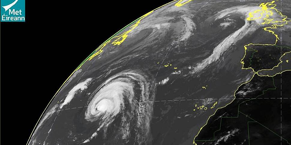
Met Eireann says it's on standby to issue a status orange weather warning for certain areas as ex-Hurricane Lorenzo approaches Ireland.
There's still uncertainty surrounding the exact track of the hurricane, but by the time it reaches us, it's predicted to have weakened to a tropical storm.
Infrared Satellite imagery, you can see hurricane #Lorenzo slowly moving north east, it is expected to transition into an extra tropical storm before it reaches Ireland. pic.twitter.com/pr2fFEKYRl
— Met Éireann (@MetEireann) October 1, 2019
The National Emergency Co-Ordination group has yet to be convened for a meeting, but the ESB, Gardaí, public transport operators and local authorities have been told to be ready to activate their crisis management plans.
They've been ordered to monitor Met Éireann's updates over the coming days -- and be ready to activate their crisis management plans.
Staff from across the civil service are on standby this morning, ready to attend a meeting of the National Emergency Co-ordination group.
"So while it will give very wet and very windy weather, perhaps orange level warnings will be the worst," said Evelyn Cusack, Head of Forecasting at Met Eireann.
"Perhaps touching status red on the west and north-west coast. But, we won't be issuing those warnings until Wednesday morning."


